
 Bahasa Indonesia
 English
105 Ha Topographic Mapping
PT Loa Haur
Mapping
Subsurface understanding
Geological mapping, core drilling, trenching, and 3D deposit modelling to support resource estimation to KCMI and JORC standards.
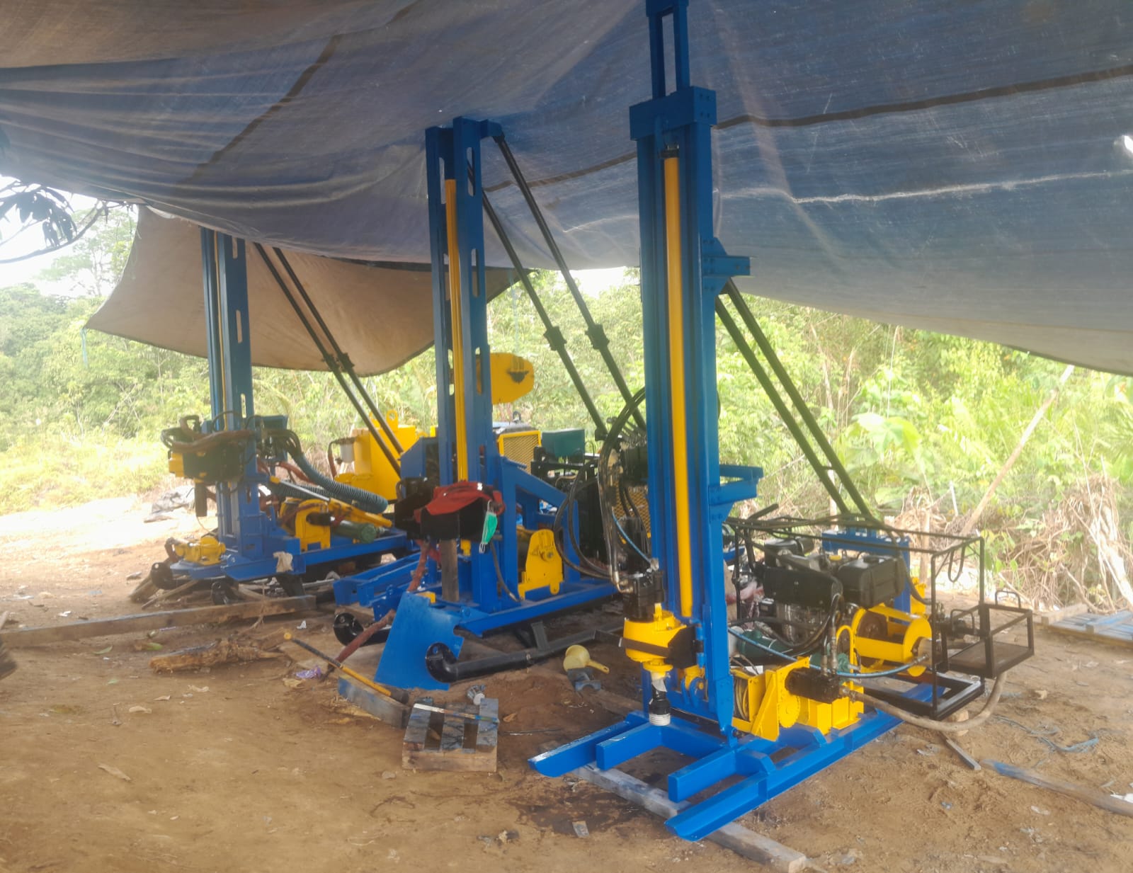
From fieldwork to data
Core drilling and sample records produce information that needs to remain traceable. Sampling positions, material conditions, and sample sequences all contribute to how the data is interpreted.
Methods, depths, sample intervals, and testing requirements remain aligned with each project scope and technical documentation.
Portfolio & track record
Mapping, drilling, trenching, and resource modelling for mine owners. Narrow the list by work type or client.
PT Loa Haur
PT Tuhup Coal Mining (TCM)
PT Tuhup Coal Mining (TCM)
PT Tadjahan Antang Mineral (TAM)
PT Tuah Globe Mining (TGM)
PT Tuah Globe Mining (TGM)
PT Tadjahan Antang Mineral (TAM)
PT Loa Haur
PT Tuhup Coal Mining (TCM)
No projects match this combination. Change one of the filters.
Drilling rig capacity
Select a rig to review its capability range. Final selection considers rock lithology, penetration targets, site access, and technical team review.
Supporting equipment includes HQ Pipe and other geological exploration items. A LiDAR UAV drone is still being procured.
Up to approximately 100 m
Initial guidance based on the equipment capabilities in the company profile.
Technical notes
Technical scope follows each project’s requirements and documents. These are the capabilities and steps described in ABM’s portfolio.